A few days ago I joined a descent to the Þríhnúkagígur volcanic conduit in Iceland. It consists of a 150-meter vertical descent along a volcanic pipe. This lava conduit was abruptly emptied of lava during the last eruption in the area, about 4500 years ago. The reason for the emptying may have been that the magma chamber found an easier (lower?) exit to the surface. Thanks to that you can actually walk down there today and see exciting things. Some of them I suspect are the erosive marks left by outflowing rocks. There are also solidified droplets of magma falling along the walls of the crater as this became empty. More interestingly, you can see that the pipe is elongated and at its two extremes there is a near-vertical fault. The magma may have taken advantage of this fault when searching its way to the surface. There is some limited scientific literature that i did not yet check, so take this critically since i am not a volcanologist.
Here are some videos of the event:

 |
| One of the cracks along the North-Atlantic ridge, a few hundred meters from the crater. Eurasia to your left, N.America to the right. |
 |
| Looking upwards towards the entrance to the cave. Note the elongated shape of the pipe when looking upward toward the surface. I guess this reflects the fault plane along which the pipe formed. |
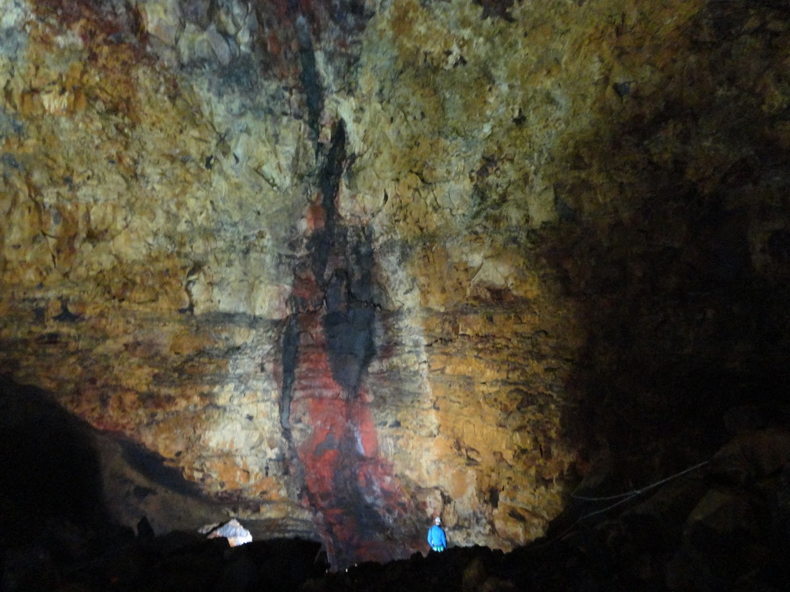 |
| The fault in one of the edges of the conduit. Its continuation could be followed behind the camera. |
More pictures of the trip here.